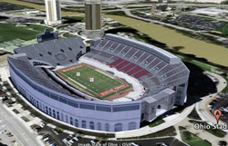
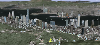
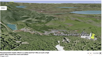
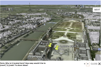
Today, we can excite and engage kids in understanding how geography impacts our world. In 3-d they can see how the land shifts as mountains raise and valleys fall. They can view street views of markets in Hong Kong, barges being filled in the harbor and watch as the sun sets over the mountains. They can plan attack routes of medieval castles! How to use the water routes to establish trade and so much more. Not to mention read articles about specific building and interesting places built right in to the program.
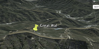
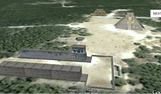
I taught students for 25 minutes how to use google earth to tour the world, collect images and tag places we will study during the rest of the year. The list of places they visited is attached below and you can see several images they found and tagged as well. The students then read over the state standards (A. Use Physical maps--google earth is that--to analyze the reasons that human features are located in particular places. B. Describe the geographic factors and process that contribute to and impede (stop) the diffusion (culture, war, trade, technology, and innovations) of people, products and ideas from place to place.) and picked images they had tagged to explain their understanding of the these standards.
Student's then created blogs that explained what they had learned from this tour. These blog were outstanding, insightful and clearly showed they had learned a great deal about how humans use geography to their advantage. I think the power of the FREE software was really shown today as we started to talk about the Vatican and the creation of the Catholic Church. Over 1/2 of my students pulled up google earth (without me mentioning it) and "Fly" to Rome to view this city state. They played their way to learning. Let Mike and I know how you are using google earth...or Science people GOOGLE SKY.
| googleeashunt.doc |
 RSS Feed


