|
A few weeks ago, Google released a new web based version of Google Earth. If you have not checked it out, you need to! A few key updates:
|
My Maps allows you to add several things:
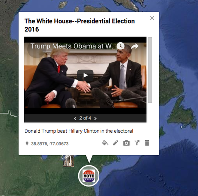
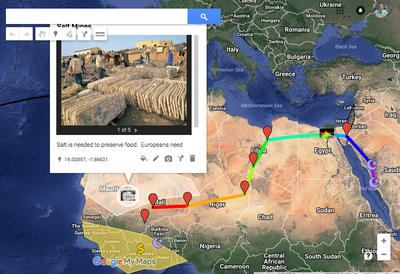
- pins/icons (hundreds of customizable icons and you can even make each pin a pic. customize them, Like the $ sign in the Mansa Musa Haij meaning the Gold mines)
- Add youtube clips
- Add images
- Add notes
- Add links in the notes, to your google documents or to any website.
- Draw lines (trade routes, movement of troops, etc)
- Change the map design (political, physical, etc.)
1. The Basics: How to use my maps
2. How to add Google docs to your my map. Think Google documents, slide shows, etc.
|
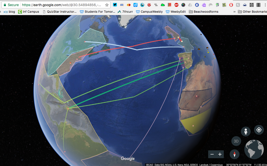
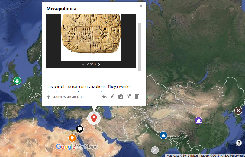
JC Lenk and I talked about how we could make an electronic portfolio of the key ideas and concepts they learned and then start a new layer in my class. This way they would have one file (one visual map) to reference for quick review of material they have learned both years, but often forgot the details as time passes. A six grade sample looks like the one to the right.
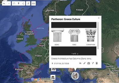
Then, when they enter my class they will add 7th grade layers to created a much more detailed map (Greece, Rome, Middle Ages, West Africa, Exploration, etc). With each click of a layer, more details and information is added to the visual map. The example below is live. You can click and see what is really on the map (Please note, several are examples and might not show much detail--I will do another post when the students finish--You will see their work). |
I envision, the 8th grade teacher picking up and adding a new layer next year that covers early American History. It will be awesome to see the three years combined in google earth. What an exciting and innovative way to "See" what they learned in middle school history classes.
What are your thoughts?
 RSS Feed


