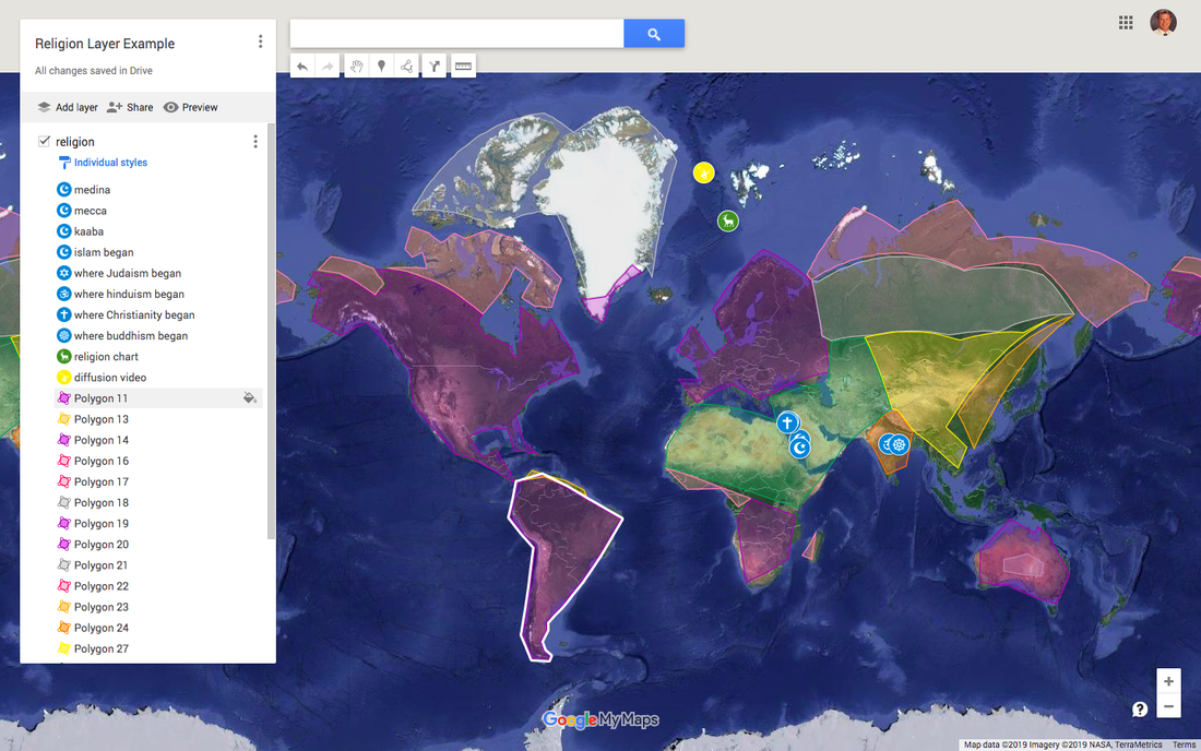
Welcome, MyMaps!!! Garth knew a little about the program and the more we looked at it and discussed it, the more it became clear: we were going to use MyMaps as a digital portfolio for students to put everything they build in one place. Now they can “see” what they have learned throughout the year. Best of all, the students are building their own portfolio that they can have forever and refer back to whenever they want.
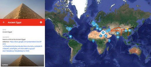
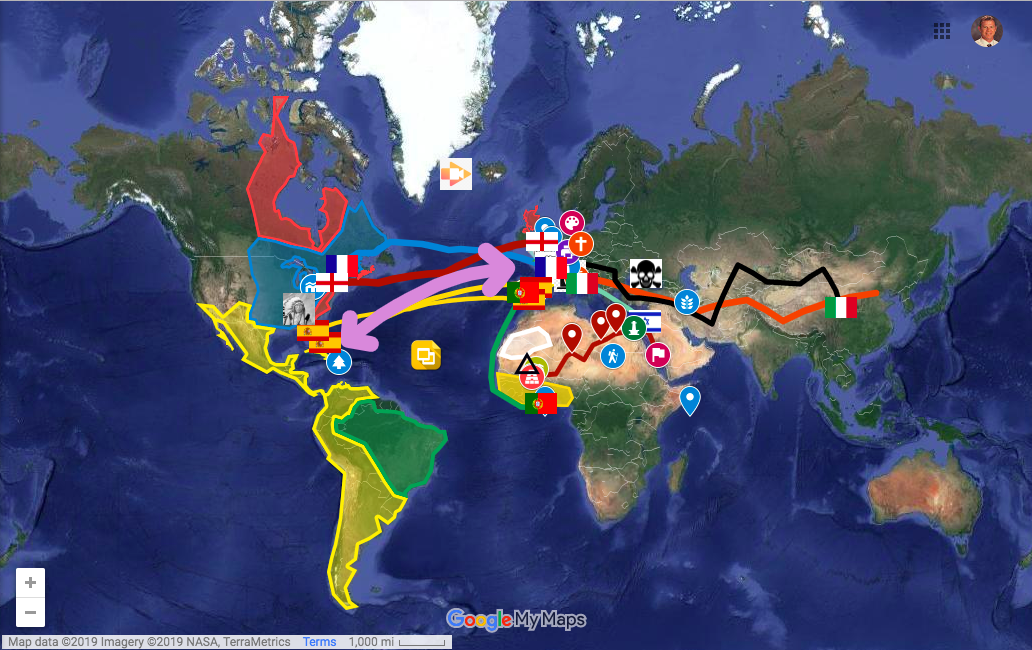
In 6th grade, everything that they build in my class is in there. Sutoris, Google Slides, Google Docs, WeVideos, YouTubes, greenscreen images, Smore’s, or whatever else they choose to build in my class. It goes into their MyMaps. The best part of all of this, the students have built it, designed it, created it and they own it!! Some of them do the bare minimum, others design their MyMaps like intricate pieces of art like the one you see below.
Yes, we are Social Studies teachers. It may be easiest for us to use this great program, but it can be used in any subject! I teach my Social Studies students how to use the program by doing a LitTrip of Long Walk to Water, their summer reading assignment. Check out this gDoc to see more examples in other content areas.
This is a great example of a student now in 8th grade, you can check out their 6th grade layer to get an idea of how I use Google MyMaps in my class. Let us know what you think... Enjoy the experience - J. C.


 RSS Feed


